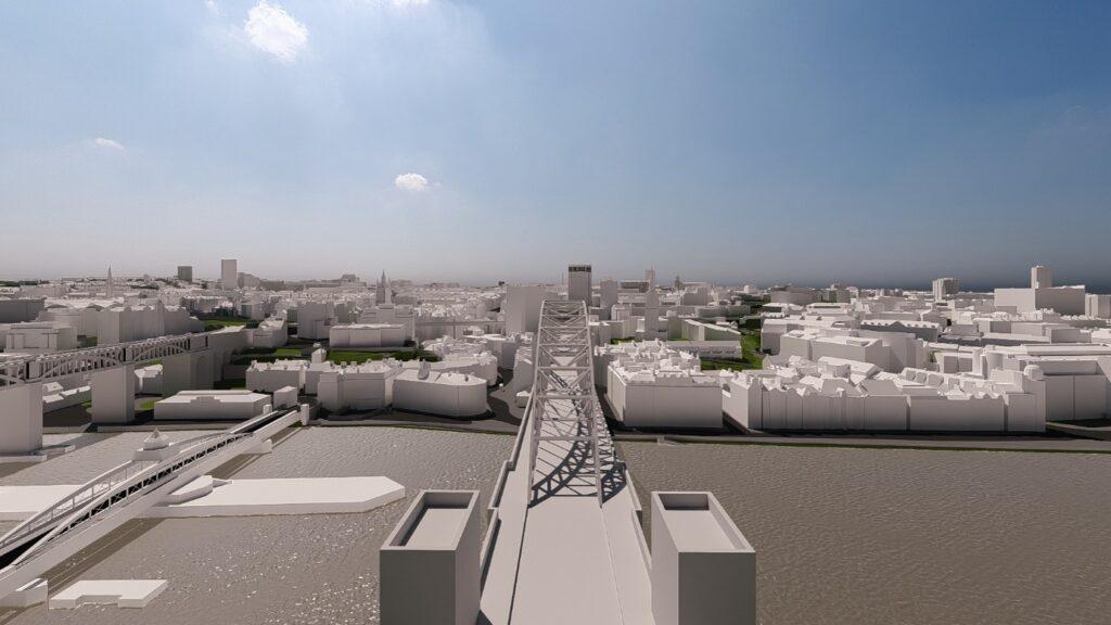
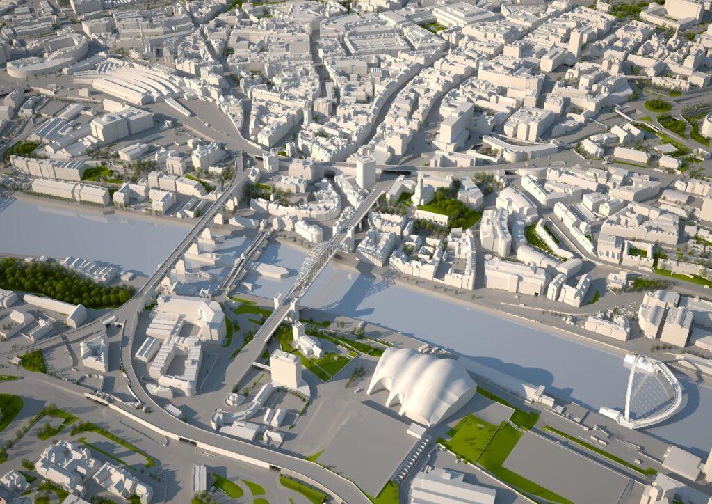
Virtual NewcastleGateshead (VNG) is a 3D digital city model of the urban core of Newcastle and Gateshead, developed by Northumbria University in partnership with Newcastle City Council and Gateshead Council. Running since 2008, it’s one of the longest continuously operating university-led 3D city models projects in active planning use in the UK.
VNG gives planners and designers an accurate and collaborative way to test how proposed developments sit within the existing cityscape, before decisions are made. Northumbria maintains a 20km² central model, kept current with major consented and built schemes, so that new proposals can be assessed against a realistic future view of the city.
Since 2016, VNG has supported the assessment of more than 70 major developments, letting council and applicant teams test alternative designs against both the current city and its consented future.
In comparison to traditional methods, VNG provides efficiencies in option testing, citywide assessment, and early collaborative discussion at pre-application stage. VNG has also informed strategic and policy work, including Newcastle City Council’s Tall Buildings Strategy, and its Landmarks and Gateways Strategy.
The work continues to develop the model’s data, coverage and applications, and to study how shared spatial evidence can support more transparent, collaborative, and better-informed planning decisions.
“VNG provides valuable and tailored assessments that are not possible through traditional processes. Option testing and enhanced data layering at a citywide level are some of the most useful features and the biggest shift from traditional methods.”
Richard Charge, Urban Designer Newcastle City Council
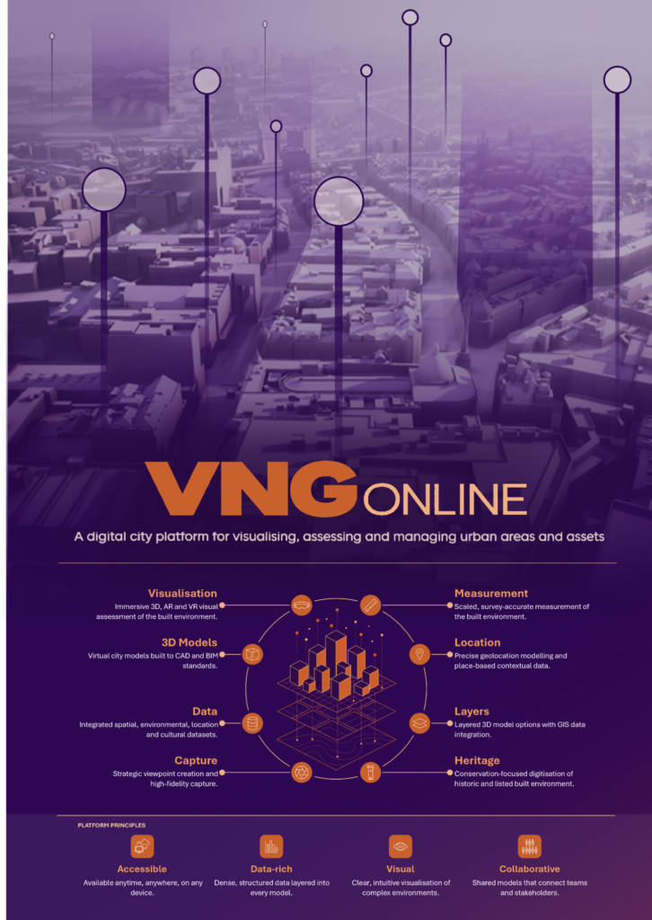
VNG Online
VNG Online is a research pilot testing whether the VNG 3D city model can be delivered through a web browser rather than specialist software installed on-site. It’s a collaboration between Northumbria University, Newcastle City Council and Gateshead Council.
Historically, planning officers accessed VNG through booked, in-person sessions at the university. VNG Online lets them reach the model and related features and functions remotely, from their own desktops, alongside routine planning tasks. The pilot reached alpha stage and provided remote browser-based access, tested integration with a range of spatial datasets, and supported assessment of real early-stage planning scenarios.
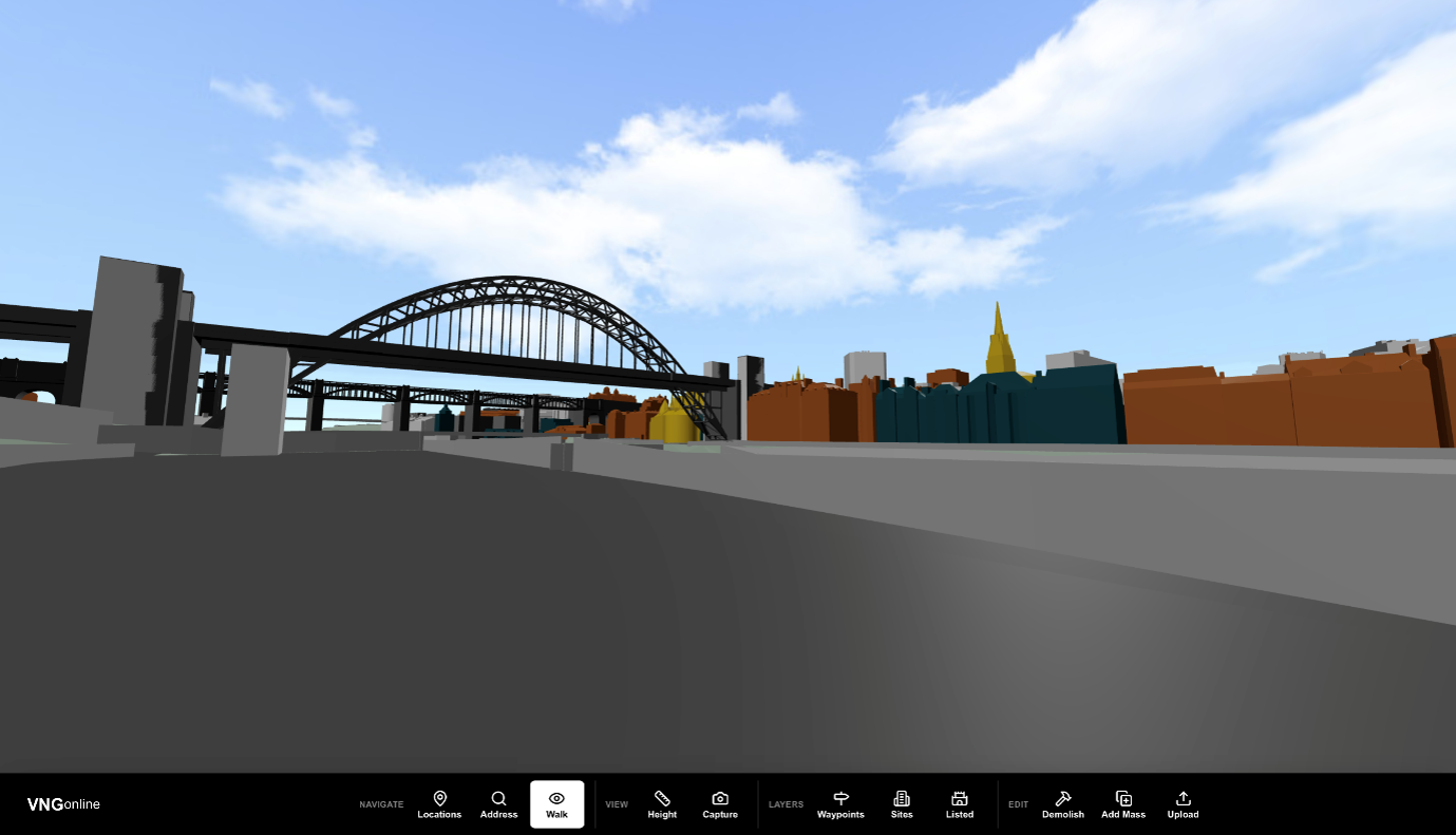
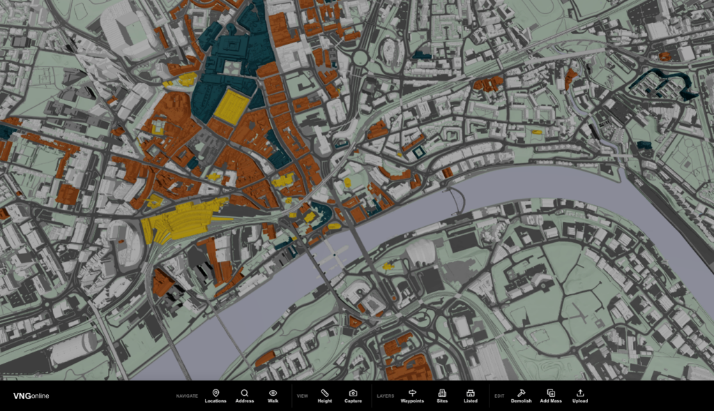
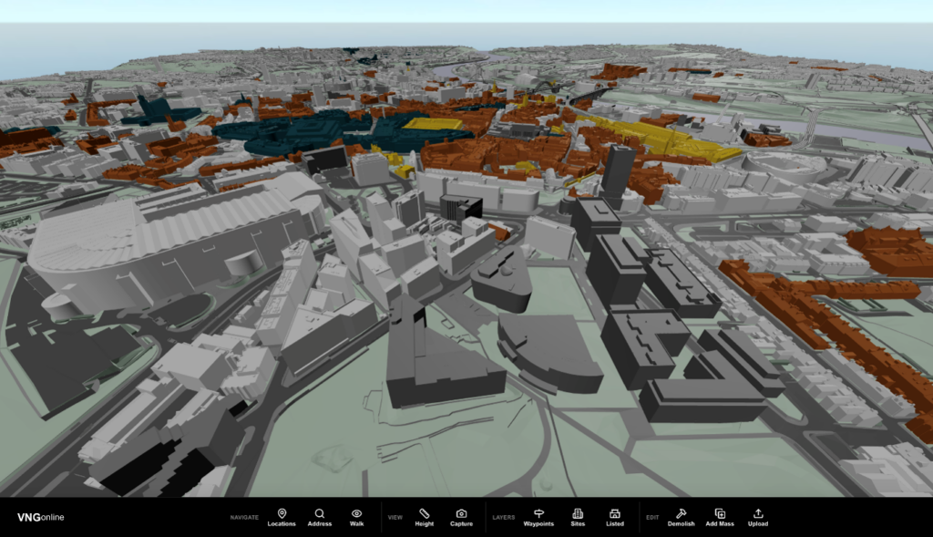
The alpha platform provides navigation and view capture, the ability to toggle proposal options and geometry on and off, import massing and 3D models, and overlay spatial datasets such as historic building and address data.
The value is practical: quicker access, less manual preparation of context images and reports, and more consistent use of spatial evidence across planning, GIS and heritage teams working on the same proposals. Officer feedback during testing suggested some early-stage tasks could be completed noticeably faster, though these are experience-based estimates rather than formal measurements.
The pilot was deliberately exploratory, focused on feasibility and learning rather than a full operational service. It surfaced clear findings about what browser-based 3D tools can offer other local planning authorities, alongside the data-readiness and governance questions that shape delivery. A pre-beta phase is currently building on this, further developing the features and functionality of the platform, with the research also examining how such tools can be sustained and scaled.